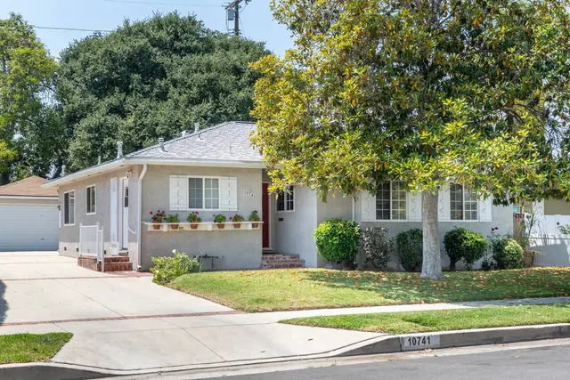
La Crescenta-Montrose
Los Angeles County
- Median home value $1,207,100
- Median rent $2,281/mo
- Owner-occupied 59.2%
Source: Census ACS 5-year, 2020-2024.
The foothills communities covered by this site, grouped the way the agent describes her service area on her own website ("the foothills"). This hub lists 3 communities: La Crescenta-Montrose, Sunland, Tujunga. Each row of the table states which area the figure describes.
Los Angeles County
Source: Census ACS 5-year, 2020-2024.
City of Los Angeles, Los Angeles County
Source: Census ACS 5-year, 2020-2024.
Photo: Aubree Chavarriga
City of Los Angeles, Los Angeles County
Source: Census ACS 5-year, 2020-2024.
| Measure | La Crescenta-Montrose | Sunland | Tujunga |
|---|---|---|---|
| Land area in square miles | 3.4 La Crescenta-Montrose Census place boundary | 4.0 Sunland neighborhood boundary (Los Angeles Times Mapping L.A., 2016) | 9.9 Tujunga neighborhood boundary (Los Angeles Times Mapping L.A., 2016) |
| Median value of owner-occupied homes | $1,207,100 La Crescenta-Montrose Census place | $861,600 ZIP 91040 area | $840,800 ZIP 91042 area |
| Median gross rent per month | $2,281 La Crescenta-Montrose Census place | $1,830 ZIP 91040 area | $1,874 ZIP 91042 area |
| Owner-occupied share of occupied homes in percent | 59.2 La Crescenta-Montrose Census place | 66.5 ZIP 91040 area | 52.9 ZIP 91042 area |
| Median year homes were built | 1958 La Crescenta-Montrose Census place | 1959 ZIP 91040 area | 1964 ZIP 91042 area |
| Median sampled ground elevation in feet | 1,847 La Crescenta-Montrose Census place boundary | 1,402 Sunland neighborhood boundary (Los Angeles Times Mapping L.A., 2016) | 1,926 Tujunga neighborhood boundary (Los Angeles Times Mapping L.A., 2016) |
| Public school locations | 6 La Crescenta-Montrose Census place boundary | 3 Sunland neighborhood boundary (Los Angeles Times Mapping L.A., 2016) | 5 Tujunga neighborhood boundary (Los Angeles Times Mapping L.A., 2016) |
| Named parks mapped in OpenStreetMap | 3 La Crescenta-Montrose Census place boundary | 1 Sunland neighborhood boundary (Los Angeles Times Mapping L.A., 2016) | 5 Tujunga neighborhood boundary (Los Angeles Times Mapping L.A., 2016) |
Each cell names the area its figure describes. Census survey figures describe the ZIP area shown, which can differ from the neighborhood boundary. Sources: U.S. Census Bureau TIGERweb; U.S. Census Bureau American Community Survey 5-year; USGS 3DEP Elevation Point Query Service; NCES EDGE public school locations; OpenStreetMap; Los Angeles Times Mapping L.A. neighborhood boundaries (LA GeoHub). Data as of 2026-10-21.
Equal Housing Opportunity. We pledge to provide equal housing opportunity to all persons without regard to race, color, religion, sex, disability, familial status or national origin.